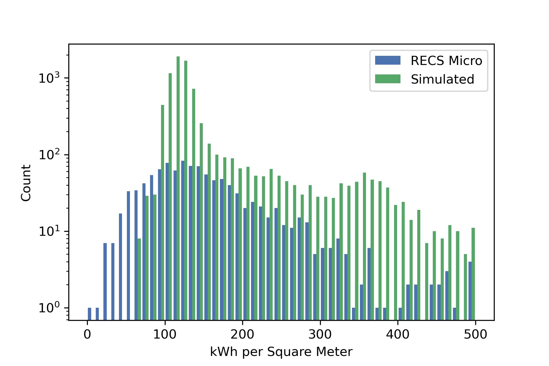
Geometry of every building in the City and Town of Ithaca, NY is reconstructed from footprints and aerial lidar survey, associated via tax parcel location with building attributes, and used to determine operational and embodied carbon. Subsets of structures can be filtered and identified for retrofits to inform policy levers and target grants, subsidies, and write-offs; retrofit scenarios can evaluate trade-off of spending embodied carbon for performance gains, and long term impact of shifting energy demands on the grid.
Project has utilized ArcMap, QGIS, Google Colab Notebooks, ClimateStudio, Urbano, 2008 Tompkins County Lidar Survey and 2020 Finger Lakes Lidar Survey, Javascript (including Mapbox), Google Cloud Platform.
Project for the Environmental Systems Lab, Cornell University.


